Get in touch
Tel: +441489 577 588
Email: service@landauuk.com

+44 (0)1489 577 588
REFIT - REFURBISH - REPAIR
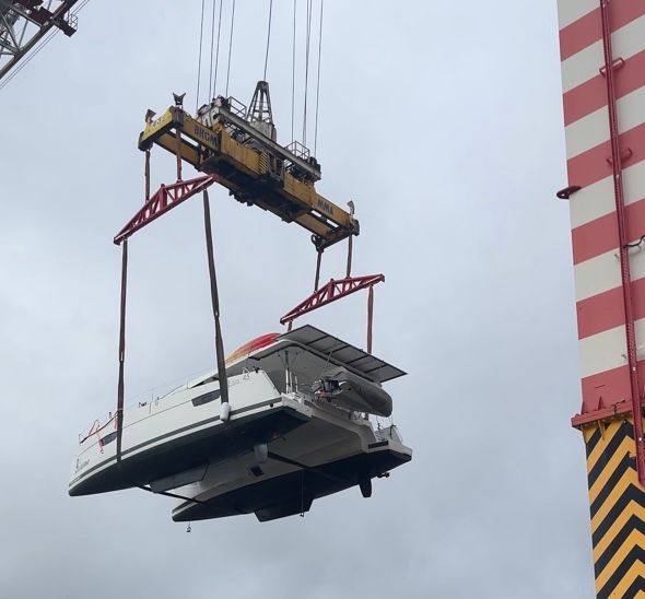
Landau Marine helps companies, public sector organisations, and individuals maintain, refurbish and enhance their vessels.
We not only equip and enhance boats of all sizes but also provide servicing and proactive maintenance to ensure their safety and suitability for the tasks they fulfil and the locations they operate in.
Our team understand that boats are used in many ways and must cope with different environments and challenges. Because of this, we provide a tailored solution for any service we provide that factors in not only the type of vessel but where and how it will be used.
Our team
Meet our team members below!


JOIN THE LANDAU FAMILY
Landau Marine is a vibrant and energetic place to work with our HQ in Swanwick Marina and indoor secure facility in Marchwood, Hampshire.
We’re an award-winning company, providing first-class service and support to our customers and exciting career opportunities to our employees.
We are always looking for high quality, enthusiastic people to join our team. If you would like to be considered for a position, please complete the form below and upload your CV and a member of the team will be in contact.
Contact Us
accreditations

ABOUT US
The LAndau Marine Story
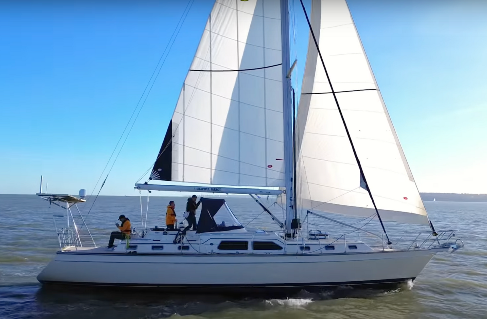
Landau Marine is a full service marine equipment and services provider. We are passionate about boats of all shapes and sizes and have been helping boat owners repair, refit and maintain their boats since 1995, taking pride in providing a tailored service.
Our experienced team of engineers and technicians can combine the latest technology with decades of ‘real world’ experience to ensure that each boat is suitable for its owner's needs and how the boat will be used.
Our experience of working with boat owners from the defence and commercial sectors as well as individuals and museums means that we bring an unrivalled wealth of experience to market.

contact us
Let's Talk
If you would like to obtain a quote for any of Landau Marine products or marine engineering services please use this form.
Fields marked with an '*' are mandatory and will ensure a swift response.
Tel: +44 (0)1489 577 588
Email: service@landauuk.com / commercial@landauuk.com
Landau Marine Ltd, Building 9, Swanwick Marina
Swanwick, Hampshire, SO31 1ZL
What's happening at Landau
Read our blogs and case studies about our latest marine refits and refurbishments

LANDAU MARINE AND MARINE RESOURCES JOIN FORCES TO SECURE THE BEST TALENT IN THE MARITIME INDUSTRY

Stay Social
Follow Landau Marine on Facebook, Instagram and YouTube


about
services
Locations
Head Office
Landau Marine Ltd, Building 9
Swanwick Marina, Swanwick
Hampshire, SO31 1ZL
Marchwood Military Port
Cracknore Hard
Marchwood, Southampton
Hampshire, SO40 4UT
Download the latest edition of

Website and SEO by Overt Digital Media